| Version 21 (modified by , 15 years ago) (diff) |
|---|
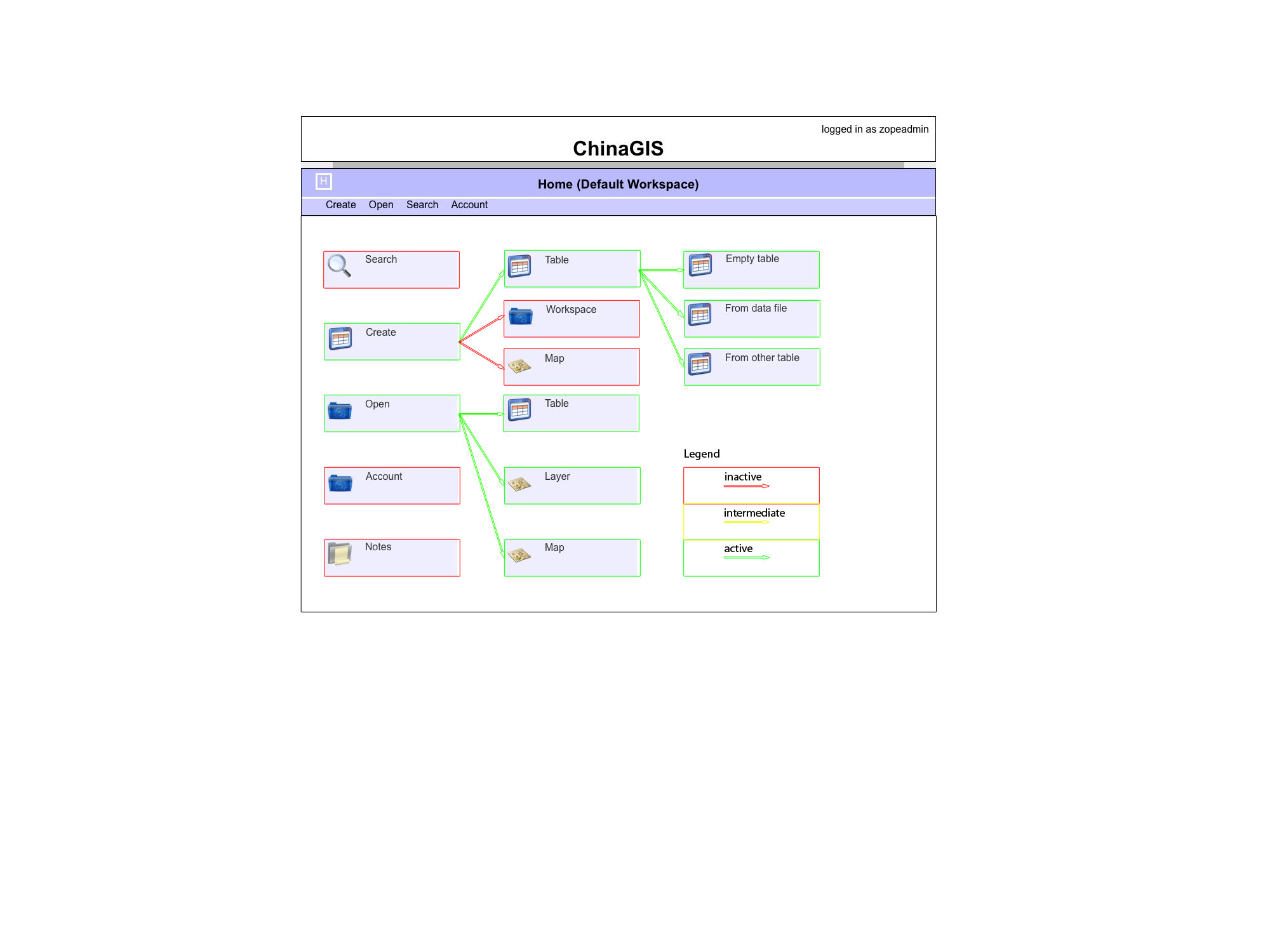
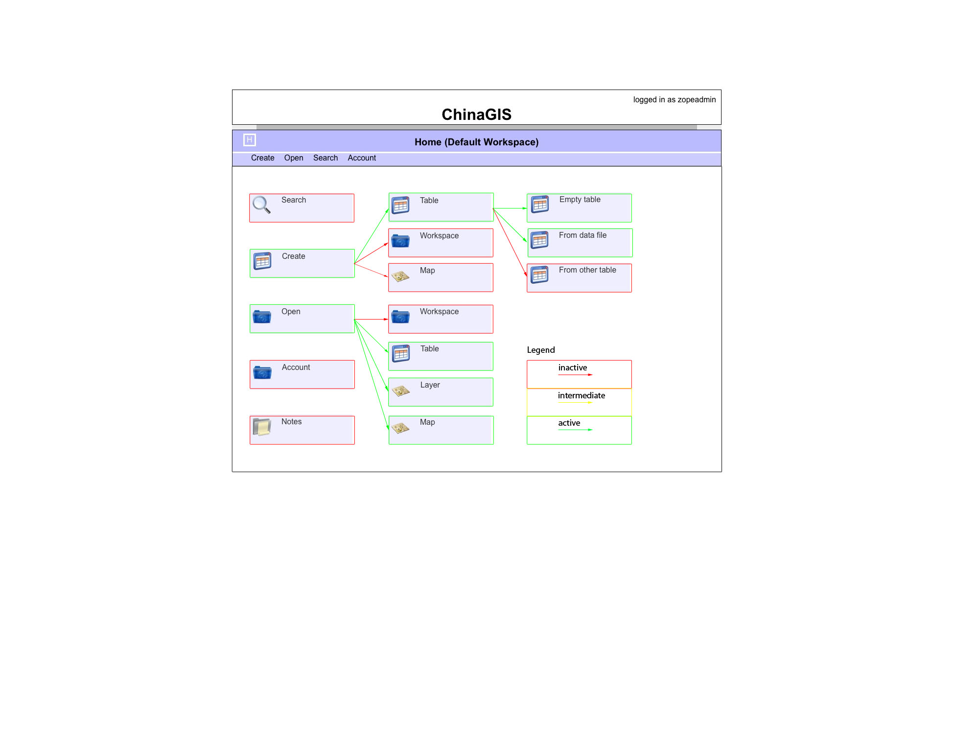
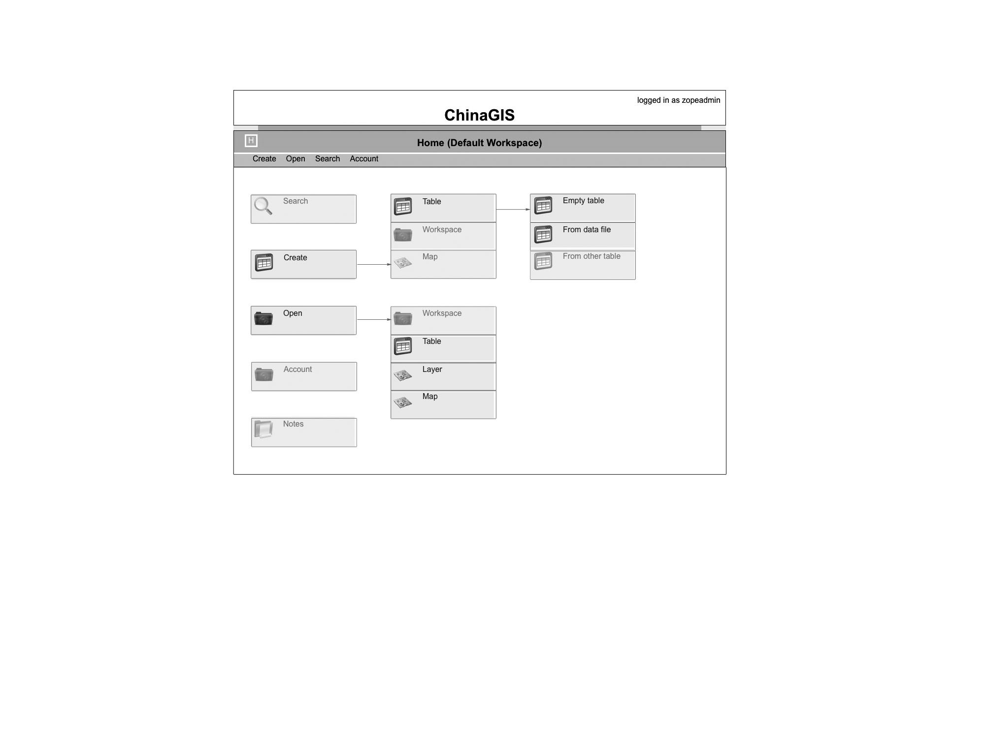
GUI
Here I will try to collect all the ideas and decisions made regarding the GUI.
First the user has to enter the working environment through the public website and login page/box.
The working environment consists of workspaces?, which are composed of blocks?.
All interaction with the mapping and database system works through these basic concepts.
Technology
The GUI is implemented using jQuery (v1.4), and to this point, the following plugins are also used: ClickMenu, datatables, liveQuery, tooltip.
The Icons were taken from iconarchive.com.
Attachments (3)
-
ChinaGIS_Fktgrafik_2010-12-20.jpg (191.3 KB) - added by 14 years ago.
ChinaGIS_Grafik_2010-12-20-AK
- ChinaGIS_Fktgrafik_2010-12-20.2.jpg (191.9 KB) - added by 14 years ago.
- ChinaGIS_Fktgrafik_2011-01-12.jpg (103.1 KB) - added by 14 years ago.
Download all attachments as: .zip